


 Bus timings from Hyderabad to Nirmal and vice versa.
  Sri Krishna Residency, Hotel
(Opp: Nirmal Toys Showroom, Nirmal)
Sri Krishna Residency, Hotel
(Opp: Nirmal Toys Showroom, Nirmal)


Kadam Dam
Kadam Dam Gallery
 Kadam Dam
.jpg) Kadam Dam
Kadam Dam
 Kadam Dam
 Kadam Dam
.jpg) Kadam Dam
Kadam Dam
.jpg) Kadam Dam
Kadam Dam
 Kadam Dam
 Kadam Dam
 Kadam Dam
 Kadam Dam
 Kadam Dam
.jpg) Kadam Dam - Park
Kadam Dam - Park
.jpg) Kadam Dam - Park
Kadam Dam - Park
.jpg) Kadam Dam
Kadam Dam
.jpg) Kadam Dam
Kadam Dam
 Kadam Dam
 Kadam Dam
 Kadam Dam
 Kadam Dam
 Kadam Dam
 Kadam Dam
 Kadam Dam
 Kadam Dam
 Kadam Dam
 Kadam Dam
 Kadam Dam
 Kadam Dam
 Kadam Dam
 Kadam Dam
 Kadam Dam
 Kadam Dam
 Kadam Dam
History

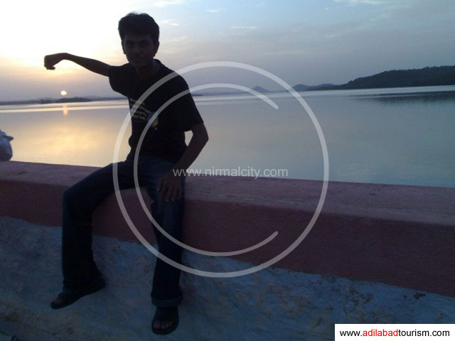
Kadam Dam
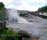
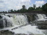
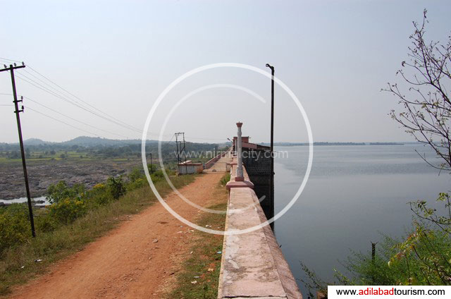
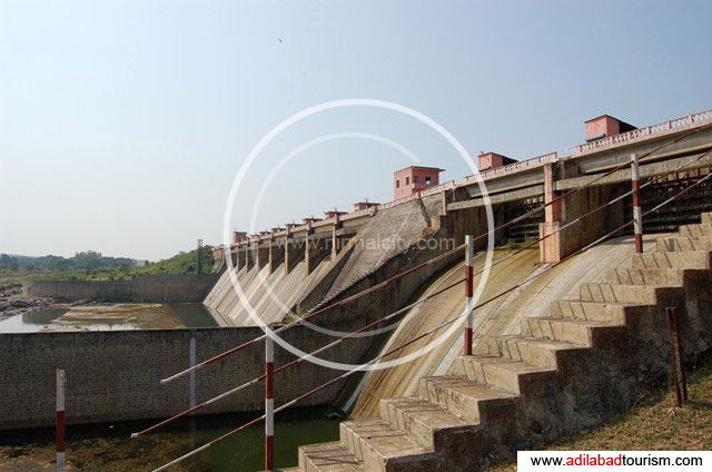
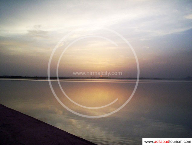
The Kadam Project is an existing major project across river Kaddam, a tributory of Godavari near Peddur(V), Kaddam(M),Adilabad District, Telangan Region, AP, India. The project is envisaged to irrigate an ayacut of 68,000 Ac.Khariff. The Kaddam Project has been integrated with Sriramasagar Project. The reservoir being supplemented through Sriramasagar Project, Saraswathi Canal to stabilize the localized ayacut.
Kadam Project Deatails
- Year of completion: 1964
- Height of Dam (Above deepest F.L.): 35.70M
- Height of Dam (Above lowest Bed Level): 30.70M
- Impounding capacity at F.R.L: 7603 Mcft
- Top of dam: + 215.70M (708ft)
- Max. Water level: + 213.21M ( 700ft)
- Full reservoir level: + 213.21M ( 700ft)
- Dead storage capacity: 78.70 M.cum
- Length of the Dam (at Crest ) in Meters: 378M
- Type, Number and Size of Spillway gates: Vertical/total-18 Gates ,9Nos 18.30x6.30M,9 Nos 18.30x4.60M
Other Projects
- Ellampalli Project on Ellampalli at Mancherial.
- Vattivagu Project on Vattivagu
- Satnalavagu project on Rallavagu
- Chelamalavagu project on Chelamalavagu at Ekkapally village.
Tourist Guide
Adilabad Travel Guide - Tourist Roadmap

| From | How long? | How many hours? | Contacts |
|---|---|---|---|
| Hyderabad to Nirmal | 210 Kms | 5 hours | |
| Nirmal to Kadam | 50 kms | 1 hour | |
| Kadam to Dam | 2 kms | 10 minutes |